Understanding the relationships between groundwater and surface water resources is a key component of any hydrogeological assessment. Such assessments often comprise water level monitoring , detailed topographical surveys and in-situ testing, all of which are readily achievable for a seasoned hydrogeologist.
When working on a site with variable geological conditions, large scale quarrying operations, water extraction and discharges the assessment inherently becomes more complex, demanding more extensive SI works and hydrogeological modelling.
Our customer approached us seeking assistance with understanding the existing water balance and also to inform impacts posed by future extension of the mineral extraction. With baseline data limited to the client’s water management experiences over several decades of quarrying operations (the importance of which should not be understated!) our team identified the immediate data gaps and developed a solution targeting the immediate precipitation- groundwater- surface water uncertainties.
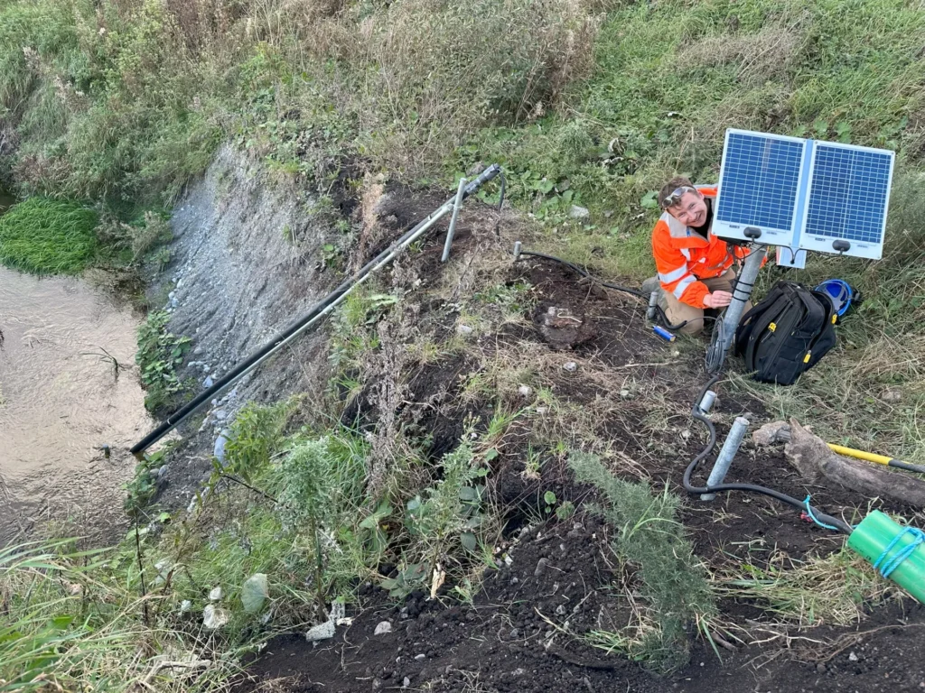
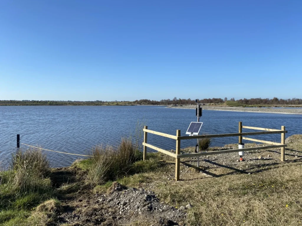
This solution incorporated Van Walt Data Collection equipment (DataHub and DataSlaves) equipped with high accuracy Keller surface water and groundwater sensors strategically positioned within recently installed boreholes and existing ponds. A tipping bucket rain gauge was also added to quantify local rainfall and assess precipitation impact.
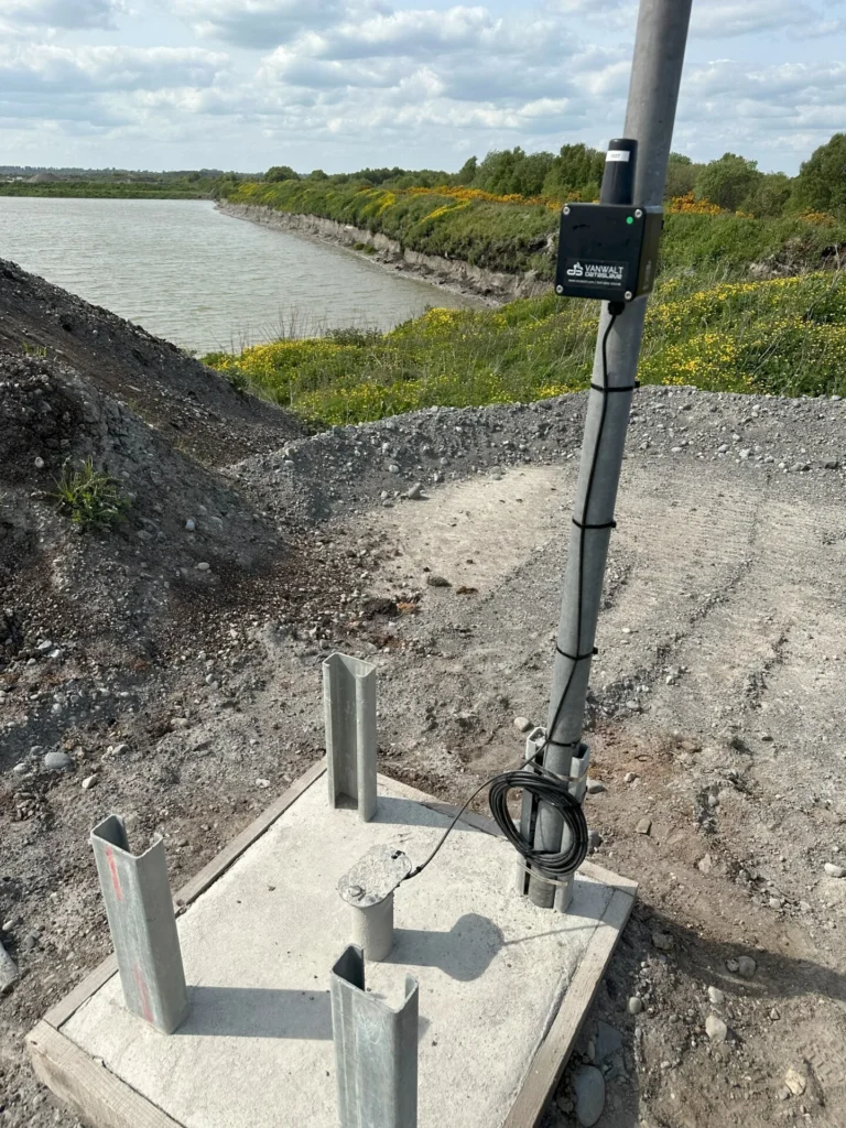
Telemetry base station with DataHub, solar, rain gauge and surface water sensor
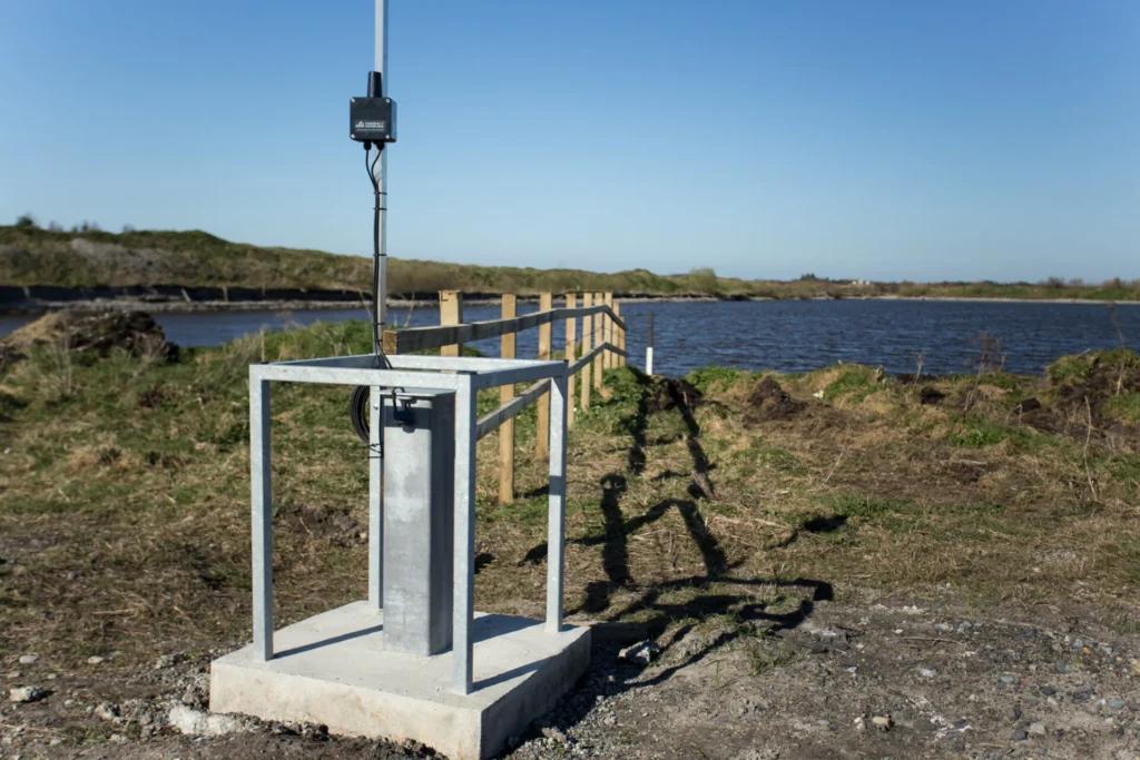
New boreholes fitted with heavy duty wellheads, groundwater sensor and DataSlave
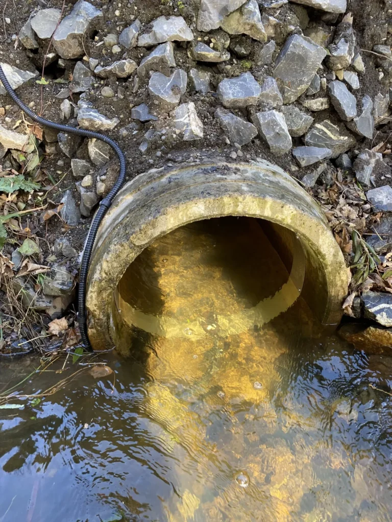
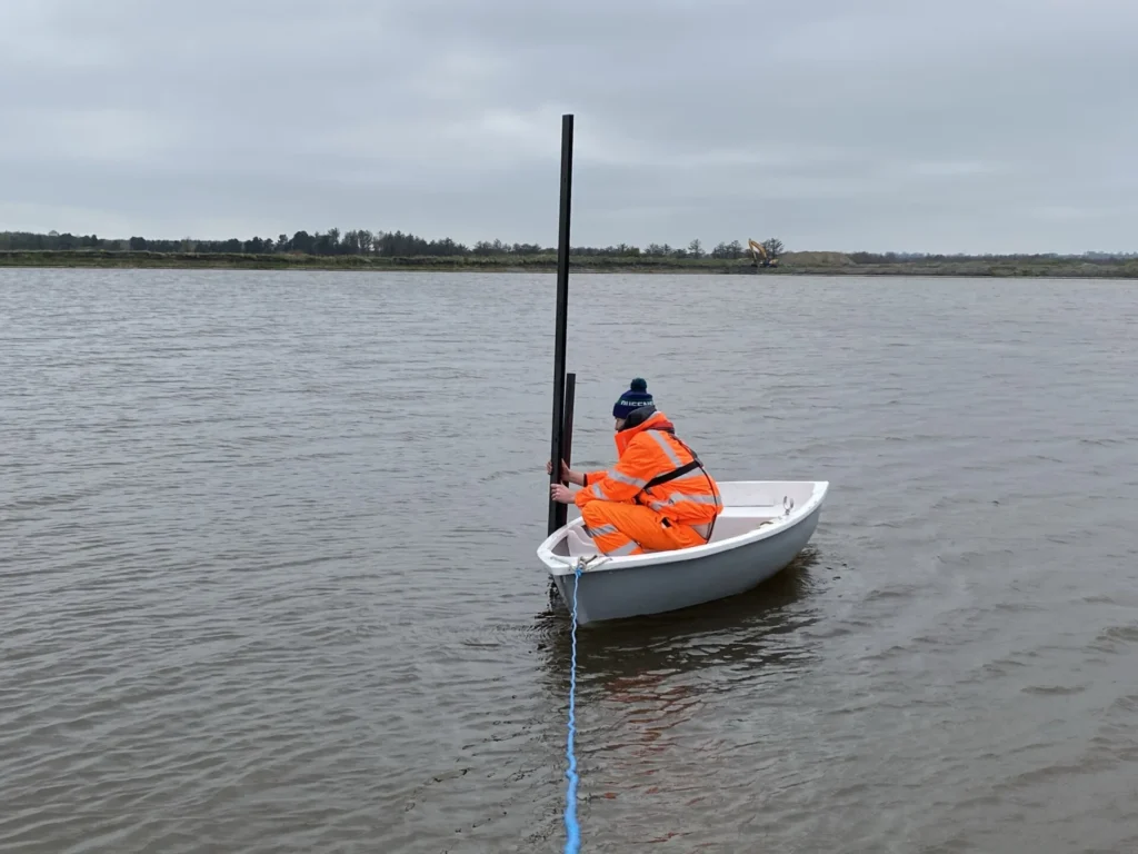
Surface water monitoring within the ponds posed challenges – How are the sensors installed and secured? How can the data be verified? What if SW levels drop substantially?
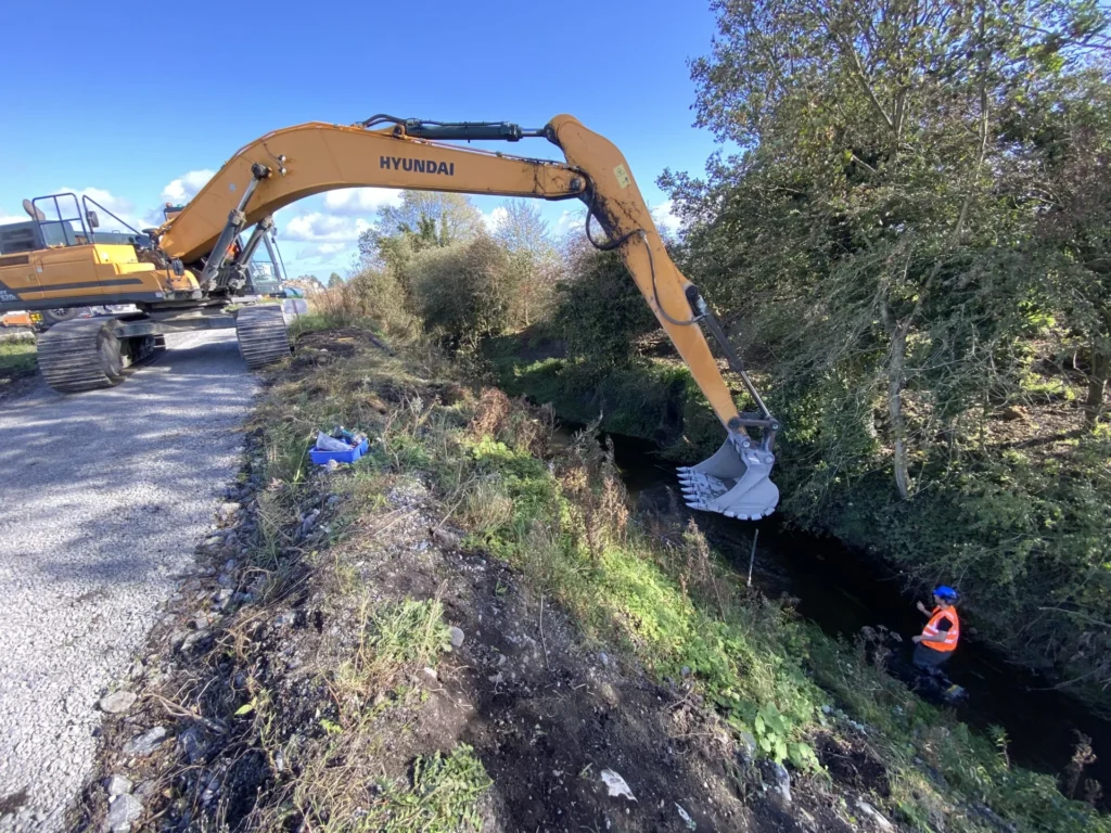
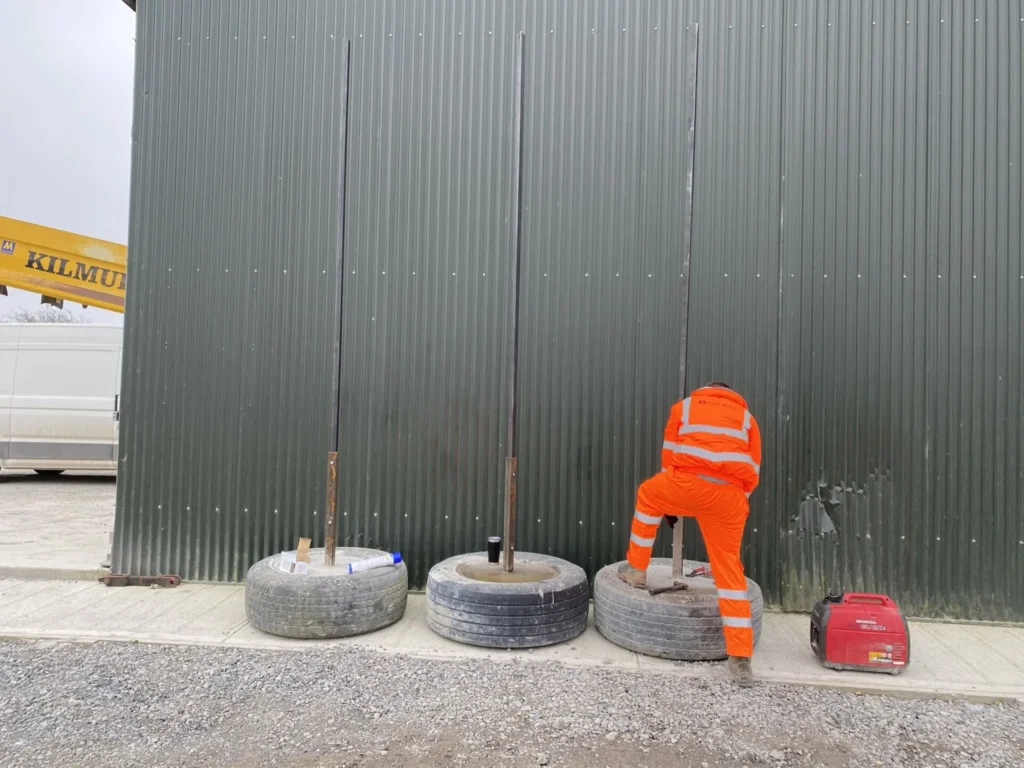
Our solution involved construction of anchoring infrastructure, stilling wells and gauge board assemblies on site. Installation followed with the assistance of our client’s long reach plant and use of a small boat for sensor deployment and commissioning.
Once commissioned the system offered measurement of all parameters at 15 minute intervals with hourly uploads to Van Walt Connect data portal.
Datasets and automated alarms provided by the system were utilised by the site team and appointed hydrogeologist to understand water balance relations, inform dewatering design, suitability of site won materials for construction of water retention berms and ongoing health and safety management.
Could the assessment have been delivered through detailed modelling…? Possibly, however at what cost, timeframe and uncertainty? In our experience there is no replacement for collection of high accuracy continuous monitoring data for such assessments!
Following installation of the original system some in 2021 our team have since expanded the sensor network to include flow and water quality monitoring at the site’s discharge and an extension of water level infrastructure to a proposed quarry extension.